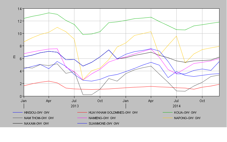
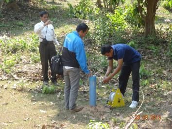
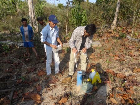
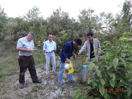
Groundwater depth is monitored in 8 test boreholes that have been drilled by the project SUMALOM Nam Ton. For the time being, the depth is measured without reference to the true altitude. The position of the test boreholes are shown in the figure below. The most downstream borehole (Houeykham goldmines) was especially drilled nearby the sediment pond of the gold mines plant in order to observe the water quality in the effluent of the gold mines and be able to assess the risk of contamination of the aquifer.


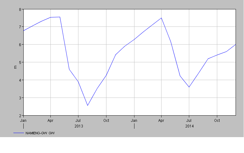
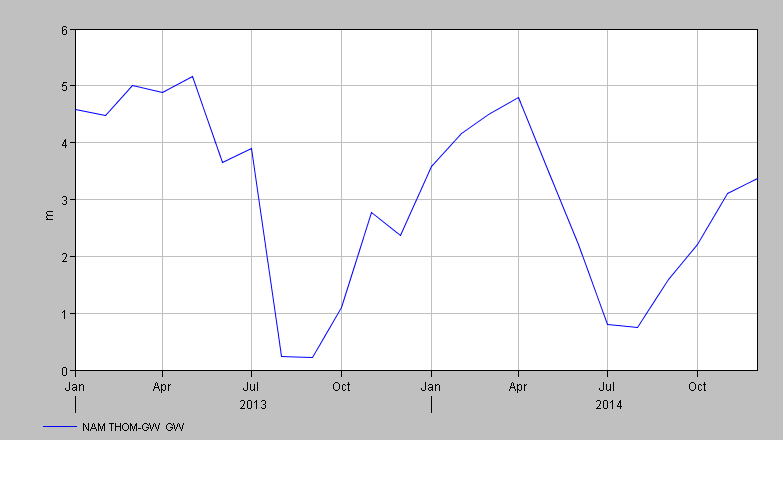
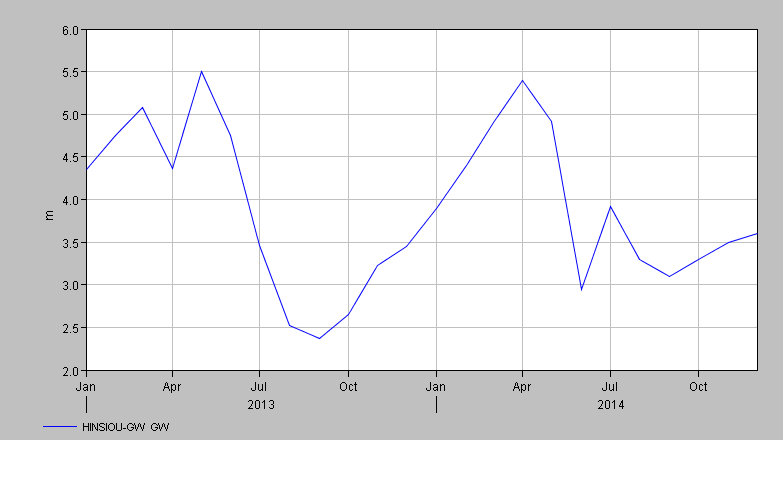
The water depth in the boreholes is measured once a month. The data collected in 2013 and 2014 are shown in the graphs below. It is interesting to note that, although the water depth is decreasing very significantly in the dry season, the recharge of the aquifer is quickly responding to the early rainfall from May to July, with a full replenishment occurring in September.